
Leander ZIP Code Directory Coverage
Leander has three documented postal leads, but they do not form a city-boundary map. The live USPS tool is the final check for one street address. Texas geographic-code material identifies 78641 and 78645 for Leander, while postal data used in the research also includes a 78646 Leander reference. The information below is a routing table, not a promise that every address in a listed ZIP has the same city, county, or delivery type.
| ZIP | Areas covered | Post office lead | Records note |
|---|---|---|---|
| 78641 | Core Leander postal area and standard street delivery lead | Use live USPS lookup for the exact address | May include locations beyond the municipal boundary; confirm county and city or ETJ. |
| 78645 | Leander postal lead and north Lake Travis area association | Station or route was not exposed in stable captured text | Can cross several postal communities; never assign county from ZIP alone. |
| 78646 | Leander postal and PO Box reference | Current delivery type was not stable in the captured USPS text | Check the individual address; do not use it as a street boundary. |
The USPS address lookup is the address-level delivery check.
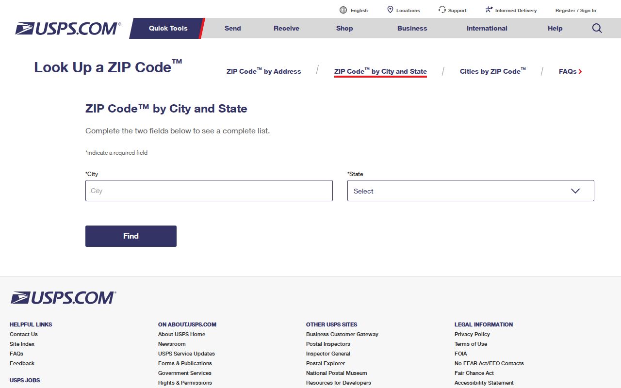
Use the returned ZIP exactly as USPS displays it, then verify the physical parcel separately. A postal result does not identify a household or a county records custodian.
Leander Postal Delivery Check
USPS explains that ZIP digits identify processing and delivery areas, not municipal borders. This matters in Leander because an address can carry the city name yet be outside city limits, and a nearby postal city can appear on a location with Leander planning or ETJ context. Archived postal and geographic references can help recognize an older label, but they should not override a live address result.
The USPS ZIP Code basics explains the postal purpose behind the label.
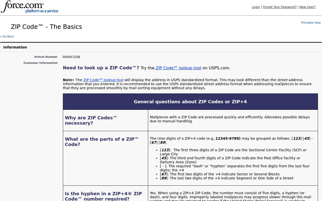
For historical or reference work, the Texas Geographic Codes document lists Leander ZIP leads. Record the date of a live verification because delivery assignments can change.
Keep the returned delivery label with the physical county, city-limit or ETJ result, and parcel identifier. New development, an address correction, or a boundary update can make an older postal label misleading. That short record explains why a later appraisal or clerk search was sent to a particular office and makes the result easier to verify again. Before asking a clerk about a deed, carry forward the printed owner name, likely date, and parcel's legal description. Williamson's clerk guidance says a legal description alone is not a land-record index key. A parcel card routes an inquiry; it does not establish every occupant or a complete household history.
WCAD Fields for Leander Parcels
WCAD advanced search accepts City and Zip Code as appraisal filters for the Williamson County portion of the Leander area. It also accepts street number range, street name, neighborhood, owner name, property ID, property status, tax year, and legal-description fields. A ZIP-wide result returns matching appraisal accounts. It is not a resident list, a voter file, or a complete inventory of addresses.
| WCAD search field | Type | ZIP workflow use |
|---|---|---|
| City / Zip Code | Text | Narrows appraisal matches by postal text; it does not establish a boundary. |
| Street Number Range | Two text fields | Limits a search after a ZIP produces too many records. |
| Street Name | Text | Tests a street without assuming the ZIP defines a neighborhood. |
| Neighborhood | Text | Uses subdivision wording as a separate filter. |
| Property Status / Tax Year | Dropdown | Sets active status and appraisal-year context. |
| Abstract, subdivision, block, tract, lot | Text | Reconnects a property result to a plat or deed description. |
The WCAD sample property card illustrates how situs, ZIP, and legal-description fields appear together.
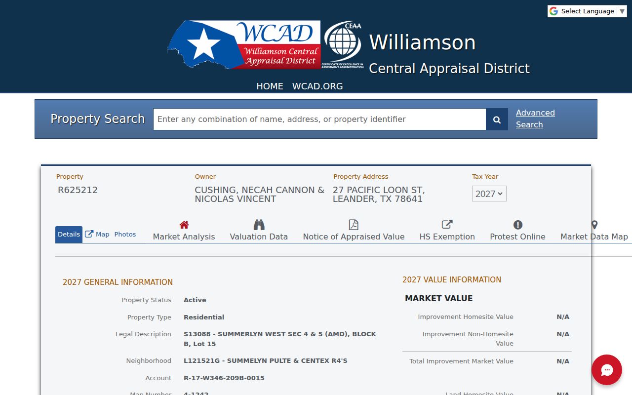
The property card can show a current tax-year owner, situs and mailing address, account, legal description, values, and exemptions. A mailing address may be elsewhere and is not proof of occupancy at the situs.
Find Leander Records by Postal Area
A practical postal-area workflow begins by validating one full street address. That prevents a broad postal label from sending a search into the wrong CAD or clerk office. After the delivery check, use the county GIS or parcel map to determine whether the tract is in Williamson or Travis County. Then choose WCAD or TCAD for the appraisal path, and the matching county clerk for a recorded instrument.
- Confirm the street address and ZIP in the live USPS lookup.
- Check the physical location and county with county GIS and the city limits or ETJ material.
- For Williamson, search WCAD with City, Zip Code, street, subdivision, or number-range fields.
- For Travis, use TCAD's address or map route when a ZIP does not distinguish the overlap area.
- Use the matching Clerk only after the parcel county and legal-description trail agree.
Once a ZIP search identifies one address, the Leander street directory provides the address-by-address parcel, map, and deed sequence.
Election records follow the same county rule. The public Texas lookup is person-oriented, not a ZIP browser, and a voter-file request must go through the correct county custodian with lawful fields and redactions.
Leander Postal County Split
The Leander postal label can require different county systems. Williamson and Travis counties maintain separate appraisal districts, clerks, courts, elections offices, and law-enforcement routes. A ZIP is a discovery clue, not a routing decision. For a Travis parcel, TCAD and Travis County Clerk Real Property replace WCAD and the Williamson Clerk, even if the postal label still says Leander.
The Leander maps and guides page includes the city-limits and ETJ material needed for the city side of the check.

The city map carries a no-warranty and accuracy disclaimer. Use it with the parcel and county GIS tools, not as a substitute for a recorded plat or official appraisal record.
The Williamson County maps page supplies another county geography route.
Those maps help narrow physical location. They do not assign a ZIP or establish who lives at an address.
Leander ZIP Code City Limits
Postal geography and city government geography serve different jobs. City limits identify municipal territory. An ETJ is a planning jurisdiction outside city limits. A county determines the appraisal, clerk, court, and elections system. A ZIP identifies a delivery area. Treat all four as separate fields when tracing an address in or near Leander.
- ZIP+4
- An added four digits that refine delivery sorting for an address. It is not a property boundary.
- PO Box ZIP
- A ZIP associated with post-office box service; it may not identify standard street delivery.
- Unique ZIP
- A ZIP used for one organization or destination. Research did not establish a Leander unique ZIP.
- Carrier route
- A postal delivery grouping used for mail handling, not a neighborhood or government district.
Leander ZIP Code 78646 Gap
The research found a Leander postal and PO Box reference for 78646, but the live captured USPS material did not expose a stable field that confirms all current delivery uses. That is a documented gap. Do not call 78646 PO Box-only for every purpose, and do not map it to a city boundary. Check the exact address in the live tool before using the label.
Likewise, no official per-ZIP Leander population, voter, or registration table was located. A ZIP-wide CAD result is only an appraisal-account match. It should not be presented as a count of people, households, or registered voters.
Note: A current postal result is stronger than archived reference data, but neither replaces a county parcel determination.
Leander ZIP Code Labels Differ
Neighborhood and association names are not ZIP boundaries. A subdivision can share a ZIP with other areas, and a ZIP can cover more than one postal community. Keep HOA or neighborhood wording in its own field rather than converting it into a postal claim. The same caution applies to a city name in a mailing address, which can differ from city-limit or county status.
Search a subdivision by name, then use the recorded plat and parcel description to test its lot, block, tract, or abstract. This is more reliable than trying to draw an address boundary from a neighborhood label. It also keeps public map work focused on geography rather than private household detail.
Leander Postal Address Fixes
For a physical-location or county-address question, Williamson GIS and Addressing are the documented first contacts. The county lists 512-943-3707 and 512-943-3708 for addressing. Leander Planning maintains city-limits, ETJ, zoning, and roadway-plan information at 201 N. Brushy Street and lists 512-528-2733. A city-issued address, a county physical address, and a postal label can all be relevant.
No public Leander E911 readdressing history or complete street-renumbering list was found in the research. Preserve the original printed address in a citation, use a normalized version for searching, and document any variation rather than assuming that an old and new form describe the same parcel.
Keep a short verification record: the address supplied, the USPS result date, the county GIS result, the CAD account or map reference, and the city-limit or ETJ result. That record makes a later correction easier to test. If a parcel was replatted or split, the account can change, so compare the legal description, subdivision, block, tract, or lot rather than relying on a ZIP label or a street number alone. Older rural instruments may use an abstract, survey, acreage, road, creek, or metes-and-bounds description. Reconcile the deed and plat before calling two differently written addresses the same property. Retain the search date because both postal routing and appraisal data can change after development, a boundary update, or a parcel correction. Record any ambiguous return as a boundary issue requiring another official check.