
Trace a Leander Street Directory
Begin with the address as printed, then make a separate working version without stray punctuation. Keep the street number, directional, street suffix, unit, subdivision, ZIP, and county visible while searching. Leander reaches into both Williamson and Travis counties, so the first job is locating the parcel, not assuming that a Leander mailing label identifies the right clerk. The public record trail can connect a physical location to a tax account, a legal description, and recorded land instruments. It cannot establish a complete household list.
- Run the address through the county GIS route to establish the physical location and county.
- Search the matching appraisal district by address, then save the account, situs address, tax year, and legal description.
- Use the legal description and owner name to locate the proper county clerk's deed index and any recorded plat.
- For a named, lawful election question, use the official person-oriented voter route or ask the elections custodian about public fields. It is not a street browser.
- Use a historical directory or criss-cross volume only as an edition-date snapshot, not proof of continuous occupancy.
The Williamson County GIS page is the starting map resource for a Leander address in that county.
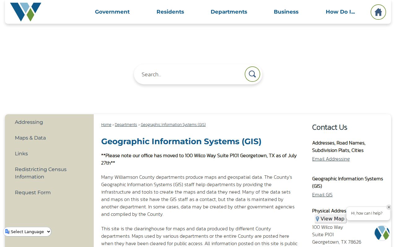
GIS resolves where the address sits before a search moves into a parcel card or a clerk index. That county check avoids a false match in the wrong records system.
Leander Street Directory Records Table
Address-keyed sources describe different parts of a Leander street. Appraisal records identify the tax account and parcel. A recorded deed documents a land transaction. A plat describes lots and easements. A permit or code case can show a public address-linked activity. None of these sources should be converted into a claim that every named person lives at that address. Keep the source, date, and role beside every result.
| Address record | Local keeper | Useful fields | Access route |
|---|---|---|---|
| Appraisal parcel card | WCAD or TCAD | Tax owner, situs and mailing address, legal description, account, value, exemptions | Free public property search |
| GIS address and parcel | Williamson GIS, WCAD GIS, city maps | Physical location, parcel edges, city or ETJ geography | Public map tools; layer details vary |
| Recorded instrument | Williamson or Travis County Clerk | Grantor, grantee, instrument date, document or book reference, legal description | County index, research library, microfilm, or copy request |
| Plat or subdivision record | County Clerk and GIS | Lot, block, tract, easement, right-of-way, subdivision | Recorded record; older material may need a research-room visit |
| City permit or code case | Leander public tools | Address, application or case type, status, inspections where public | Portal or narrow city request |
The parcel account is a cross-check, not a deed substitute. The Clerk says a legal description by itself is not an index key, so carry a grantor or grantee name and an approximate date into the land-record search.
Note: A recorded grantee, tax-account owner, permit applicant, and historic householder are separate roles that need separate labels.
WCAD Search for Leander Streets
For the Williamson County portion of a Leander street, WCAD accepts an address, name, account, or property ID. The advanced form is useful when an address is partial or a whole street needs a narrow range. Its two street-number fields support a number interval, while the street-name field can be tried with or without a suffix. Keep a unit separate from the parcel address, since one tax account can represent more than one address.
The WCAD advanced-search form shows the address, owner, legal-description, status, and tax-year controls used for this route.
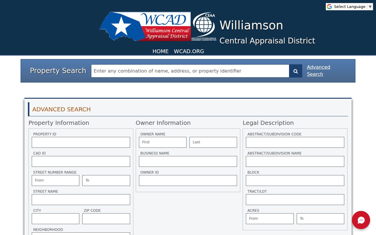
Use a wide result only to find the right parcel. A street-wide result is an appraisal-account result, not a complete list of people on that street.
| WCAD field | Type | How it helps an address search |
|---|---|---|
| Property ID / CAD ID | Text | Looks up an exact parcel identifier. |
| Street Number Range | Two text fields | Browses an interval along a street. |
| Street Name | Text | Tests the core name, with suffix changes as needed. |
| City / Zip Code | Text | Narrows postal and appraisal matches, but does not prove a boundary. |
| Neighborhood | Text | Uses subdivision or neighborhood wording. |
| Property Status / Tax Year | Dropdown | Limits results by status and appraisal year. |
| Abstract, subdivision, block, tract, lot | Text | Moves from a plat description back to a parcel. |
The WCAD property-search landing page leads to the individual property card after a result is selected.
A card can show current tax-year ownership, situs and mailing addresses, legal description, account identifiers, taxing entities, and improvement details. Mailing and situs addresses must remain distinct.
Leander GIS Confirms Address County
County GIS is for physical location. It can help resolve a rural route, subdivision, street variation, or precinct before records are requested. WCAD's map viewer advertises parcel selection, multiple-property selection, and export, but the researched viewer did not expose stable layer names, filters, export limits, or a repeatable adjacent-parcel sequence. Treat those controls as a documented gap until they are checked live.
The Leander Planning department maintains material for zoning, city limits, ETJ, and roadway planning.

A Leander mailing address may receive city planning attention while the parcel is outside city limits. County zoning should not be assumed from a Leander postal label.
- Parcel
- A defined tract tracked for appraisal and mapping. One parcel can have more than one address.
- Situs address
- The physical parcel location used for appraisal and mapping, not necessarily where tax notices are mailed.
- Plat
- A recorded map that lays out lots, blocks, rights-of-way, and easements in a subdivision.
- Criss-cross directory
- A printed directory arranged by address, often used to find a householder for one edition year.
Leander Street Permit Map Gap
Leander's public development tools can provide address-linked context for permits, inspections, plans, code cases, requests, and licenses when those fields are public. A permit applicant can be an owner, contractor, architect, or agent, so the role should not be turned into an occupancy claim. Ask the city for final status when the public record shows only an open application.
Address-map caution. A blank public map does not prove no city activity occurred. Citizen Connect may omit a permit, zoning, or public-improvement record when it has no valid geocoded address. The public Development Hub is another address-aware route, but its dynamic field set and historical coverage were not established in the research.
For a missing record, direct a narrow request to the City Secretary or the proper county custodian. Give the record type, date range, address, case number, or parcel reference. A request for every detail tied to an address is less likely to be clear or appropriate.
Leander Address Paths Split by County
County handoff. Confirm the county before searching a clerk index. For a Williamson parcel, use WCAD and the Williamson County Clerk. For a Travis parcel, switch to TCAD and the Travis County Clerk Real Property route. The Leander name, ZIP, city limit, and county boundary do not always match. That handoff is especially important near the overlap.
The Travis County Clerk real-property page describes the recording office for a Leander-area tract in Travis County.
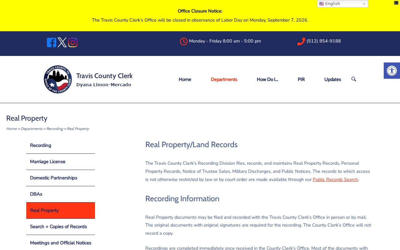
Travis online recording data is listed from June 1986 forward, with redacted images listed from December 2005 forward. Older paper or microfilm name searches have a stated $10 per-name, per-10-year basic-search charge plus copies.
The Travis CAD property search is the appraisal side of that handoff.

Travis CAD emphasizes owner name, property address, account number, and DBA in its visible search summary. Use its address or map path when a ZIP alone cannot separate the county-overlap area.
Leander Street Deed Trails
Once the parcel is confirmed, copy the current owner name exactly as the appraisal card prints it, including an entity or co-owner. Search that name as a grantee in the appropriate Clerk index near the likely transfer date. The document can supply execution and recording dates, grantor and grantee, instrument number, volume or page, legal description, and any plat reference. A deed documents a recorded event, not a move-in date or every household member.
Search the seller from that instrument as an earlier grantee, then repeat while comparing the legal description at every stop. A newer deed may use subdivision and lot terms while an older one uses an abstract, survey, or metes-and-bounds description. The recorded plat is the bridge when a lot was divided, replatted, or renumbered. The Williamson County Clerk provides the county route for land records, research library services, and recording information.
Williamson's archive plan reports that deed books 1 through 168 were preserved from 2001 through 2006 and that 943 deed books had been scanned. That is preservation history, not a promise that every image is presently available online. When the newer land system stops, the documented fallback is legacy index books, deed volumes, microfilm, the Clerk research library, or a paid clerk copy.
Note: Preserve a volume, page, document number, and legal description so a future search can test the same parcel rather than a similar name.
Leander Street Name History
Older address work needs a local place-name check. Bagdad was officially named in 1855, the railroad arrived in 1881, and Leander was established in 1882 after the rail line bypassed Bagdad by about one mile. That transition can make a historical place-name search useful when a modern Leander street or subdivision search fails.
Do not call that history a street renumbering. No official Leander street-renaming or renumbering list was located in the research. Search historic and modern place names, then test the street or subdivision wording in each deed book or directory edition. New streets may first appear in a plat, then in a tax account, and later in a printed directory.
For an edition-by-edition household trail, the Leander City Directories page keeps the historical collection angle separate from current address records.
Leander Street Directory Privacy Limits
A street directory is not a roster of occupants. Public appraisal and deed records can support a documented property question, yet mailing addresses can point to an agent, business, trust, family member, or another residence. Public voter lookup is person-oriented and its statewide routes use sensitive confirmation information. It does not offer a public mode for listing everyone on a street.
Williamson's opt-out process removes an individual from county and state lookup display, but it does not erase the underlying public-information record. Ask the elections custodian for lawful fields, format, fee, scope, and required redactions before requesting a voter file. A person should not be inferred from a primary vote, a precinct, or an address alone.
Leander Street Records Requests
When an online search ends, route the question to the office that keeps that record. The Williamson Clerk's research library, recording division, and vital-statistics counter are generally listed for weekdays from 8 a.m. to 4:30 p.m., while court functions have separate hours. Confirm before traveling because county routing and holiday hours can change. Travis materials may instead require a county-specific online, mail, or in-person request.
For city material, use the city public-records procedure with a narrow address, date range, permit, plan, case, or parcel reference. For a Clerk request, include a party name and approximate date because the legal description alone is not a supported index key. Public access does not make every field releasable, and a missing online result may require a counter, research-room, microfilm, or formal-request route.