
Leander Neighbors by Block Source
A block search should answer geographic questions: which lots adjoin a target parcel, what subdivision or plat controls them, and which city or county system keeps the record. It should not become a roster of current households. A tax card can identify a parcel owner and mailing record, while a plat explains lot lines, easements, and rights-of-way. City permit and planning sources add public project context when an address is attached.
| Source | What It Shows About a Block | Access |
|---|---|---|
| WCAD GIS and property search | Parcel outlines, property links, legal description, and tax-card context | Public map and card; do not bulk-copy owner details |
| Williamson GIS Address Search | Physical address location and county map context | Public route; historic layers were not stated |
| County Clerk recorded plat | Subdivision, block, lot, easement, and adjoining-lot structure | Recorded records; older volumes can need library or microfilm research |
| Citizen Connect and Development Hub | Address-linked permits, plan cases, inspections, code cases, and public projects | Public channels; some records have no valid-address display |
| Association certificate and city engagement | Association geography, public certificate context, and civic contact route | Association information, not a member directory |
Leander neighbors can sit on either side of a county line or city-limit boundary. Confirm the tract before using a Williamson deed, court, voter, or appraisal channel. A postal city or ZIP label is useful for mail, but it does not settle jurisdiction.
Use the City Limits and ETJ material with the county GIS address route before treating a block as municipal territory. An ETJ can receive Leander planning attention without being inside the city, and a postal Leander address can still lead to Travis County offices. The check also matters for Old Town, TOD, and subdivision context, where planning labels explain an area but do not replace the parcel's official county and plat record.
Map Leander Neighbor Parcels
The official map path starts with the target address, then works outward through parcel references and the recorded plat. WCAD advertises map search, multiple-property selection, and export, but the accessible research did not expose a live click-adjacent, buffer, measure, or layer sequence. Use the viewer as a research aid and the plat as the geometric check. Street numbers alone fail on cul-de-sacs, corner lots, unit addresses, replats, and roads that bend around a block.
- Search the target in the official map or property system and record the parcel reference, subdivision, block or tract, lot, county, and date checked.
- Use the parcel outline to identify lots touching the target or across the recorded right-of-way. Treat that as a geographic neighbor relationship only.
- Open the official property-card link for each candidate parcel. Keep only the parcel reference and public geography needed for the question, rather than copying personal details.
- Verify the pattern with the recorded plat. The plat explains easements, lot splits, dedications, and rights-of-way that a current map view may not make clear.
- Repeat the county and city or ETJ check for border tracts. Use Travis systems when the physical location calls for them.
The WCAD parcel viewer is the official visual starting point for this process.
The viewer helps connect an address to its parcel geometry. It does not establish occupancy, relationships, or a complete title history, and WCAD cautions that its maps have limited accuracy.
For a full street-by-street record trail after the block has been identified, use the Leander By Street directory.
Leander Neighbor Map Records
Leander’s Citizen Connect public map provides map, trends, and alerts views for categories including Permit Applications and Plan Cases. It does not require a login, but its dynamic filter labels and export options were not captured in the research. More importantly, a permit, zoning, or public-improvement record can be absent from the map when no valid address is attached. Treat an empty map result as an absence explanation, not a final answer.
The Citizen Connect map and record categories show the public-entry point.
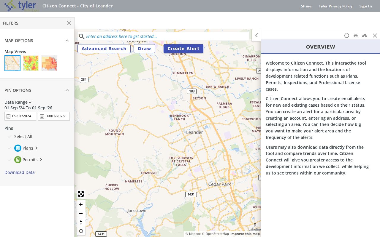
Use a city map result to identify the public project or case category, date, and address context. It does not identify a resident or prove who uses a property.
For the related public portal, the Leander Development Hub search lists permit, plan, inspection, code-case, request, and license categories. The available unauthenticated search fields were not stated, so do not assume a specific filter or result column exists.
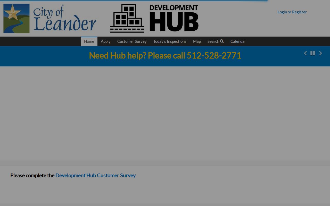
Address-linked public records can explain activity around a block. An applicant, contractor, agent, or owner named in a record is a role in that record, not proof of residence.
Leander Neighbor Association Context
Association information adds community geography, not membership proof. The Texas HOA management-certificate search can support an association name, city or county, ZIP, type, and certificate context. The state source carries a user-provided completeness disclaimer, and it does not provide a private member list. The city’s Community Engagement channel is the appropriate route for an association leader who wants to connect with city staff.
The Leander HOA and community-leader contact page reflects that civic route.
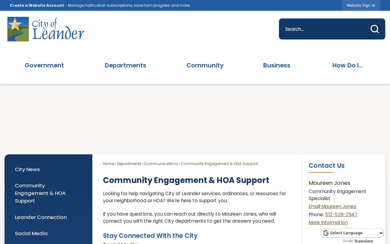
The city form supports organizational contact and summit participation. It does not supply a household directory or establish that a particular address belongs to an association member.
| Association or Network Lead | Recorded Context | Careful Use |
|---|---|---|
| Crystal Falls HOA | State certificate-search lead for Leander | Verify current certificate; do not infer a member list |
| Summerlyn POA | State certificate-search association lead | Confirm city and ZIP in the current certificate |
| Palmera Ridge Master Community | State search and city HOA Summit lead | Use as neighborhood geography only |
| Hazlewood HOA | State search and city HOA Summit lead | Confirm contact or certificate at the source |
| Crystal Crossing | Association lead and city infrastructure notices | Infrastructure notices are not customer records |
In April 2026, the city’s first HOA Summit identified a dozen participating neighborhood networks, including Reagan’s Overlook, Travisso, Whitt Ranch, Rancho Sienna, Marbella, Devine Lake, Overlook Estates, Benbrook Ranch, and Bluffview. That is timely civic context, not a claim about individual membership.
Leander Neighbor Infrastructure Clues
Public infrastructure notices can place work in a neighborhood without identifying utility customers. Leander’s Advanced Metering Infrastructure material is useful as a dated geographic time capsule: it can show streets or neighborhoods receiving a public system update. It cannot tell who receives service at a meter, who pays an account, or who lives at an address. Keep those categories separate.
The Leander AMI information provides the official context.
Use a map notice to date public work near a block, then confirm a parcel’s county, city or ETJ status, and recorded plat before linking it to a property question.
Leander Neighbor Voter Geography
VoteTexas/TEAM is person-oriented. The documented routes use name and county with additional official identifiers, not a search that lists every voter along a street. Election maps and dated results can describe precinct geography without identifying voters. Williamson precinct boundaries changed effective January 1, 2026, so an older result needs the boundary map and election date that applied at the time.
A full voter-file request follows the county public-information process and must respect protected identifiers, confidential addresses, and other redactions. Registration status is not a political preference, and neither a voter result nor a public request should be turned into a block directory. Note: The research found no official Leander congregation, block-watch, or fraternal roster suitable for publication.
Williamson’s results archive displays election-result years from 1999 through 2026. It can support a dated account of precinct-level civic history, but it cannot identify individual voters or show a ballot choice. For a Travis County tract, use Travis voter services and its precinct materials instead of carrying a Williamson result across the county line. That small jurisdiction check prevents a block map from mixing two election systems.
Leander Neighbors: Source Types
Official records and commercial neighbor tools are different categories. The first can provide a direct source, date, jurisdiction, and stated record role. The second may combine data from unclear sources, conflate same-name people, charge for access, or retain stale entries. For block work, a dated parcel link and recorded plat are more useful than an unnamed compilation because their limits can be checked.
| Source Category | Useful For | Cannot Establish |
|---|---|---|
| Official parcel, plat, and clerk records | Parcel geometry, legal description, recorded transaction, and the responsible custodian | Every current occupant, relationships, or private contact details |
| Official city map and permit channels | Address-linked public activity, project status, and city context | Who resides at a location or a complete project history when records lack an address |
| Commercial compiled tools | A possible lead that still needs an official source and date | Identity, current residence, or a reliable block list without corroboration |
Record the official source URL, access date, county, parcel or case reference, and the exact role the record gives a name. That modest citation practice makes a neighbor inquiry reproducible without exposing unnecessary personal information.
Leander Neighbor Privacy Limits
Parcel adjacency is not social proof. Do not infer family ties, association membership, occupancy, customer status, or personal contact information from an address, map, tax card, or association name. Texas public-record principles also require care with protected identifiers, confidential addresses, financial details, signatures, and sensitive court or vital-record material. A public card may display more than a block question needs.
The Texas Address Confidentiality Program can provide a substitute address for qualifying participants. It does not mean every government record disappears, and no research support exists for promising a blanket deletion process in Leander. Contact the custodian for an inaccurate or protected record and preserve only the source and date needed for the civic or historical question.
Lawful use. Leander neighbors research is for lawful block context, civic awareness, and historical work. Never use parcel or association information to monitor, stalk, harass, intimidate, or harm anyone.